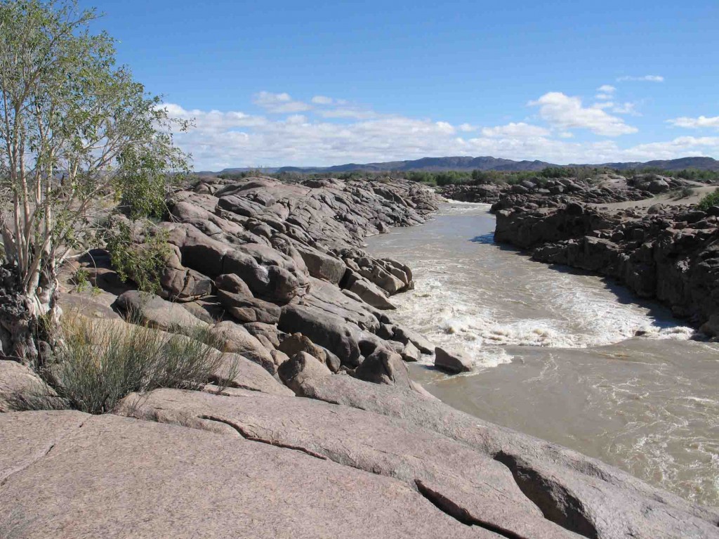
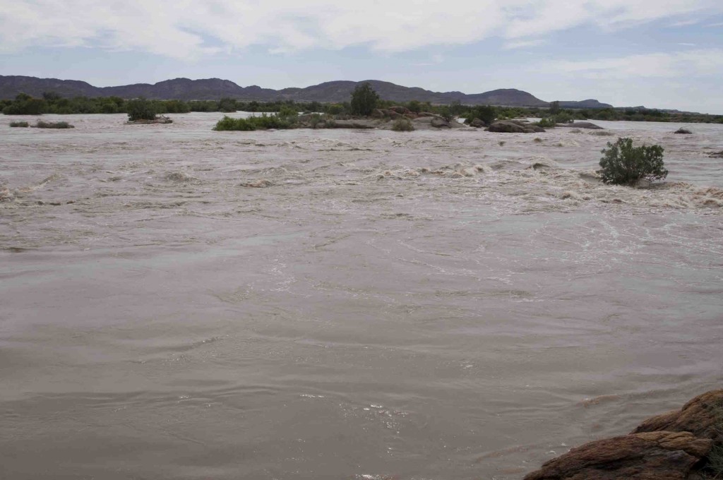
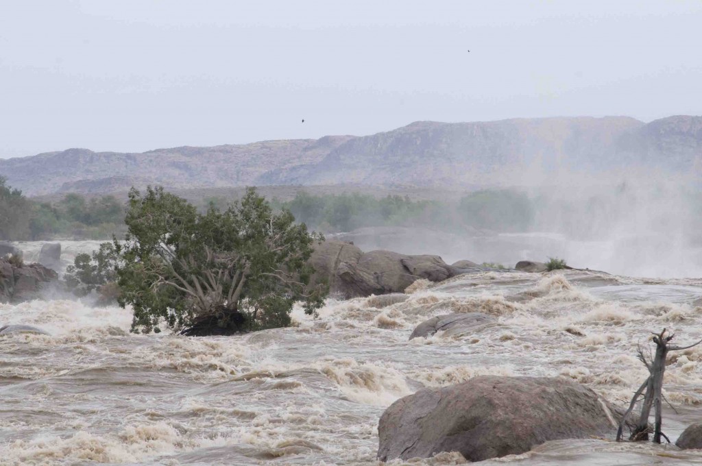
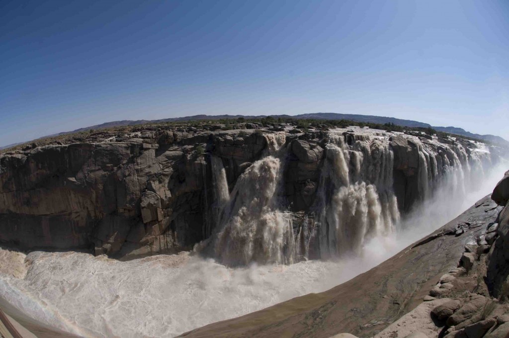
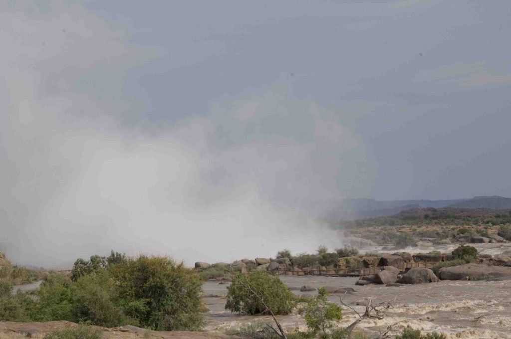
I recently visited my old field site at Augrabies Falls National Park, in the Northern Cape Province of South Africa. The park is situated on the Orange River, not too far from the border with Namibia. I was in for a bit of a shock. The river was in flood and at its highest since the 1988 floods. It took me about 10 minutes to figure out the location of my study site! The good news is that I still saw lots of lizards in nearby rocks, but no telling how many were forced to learn rafting.
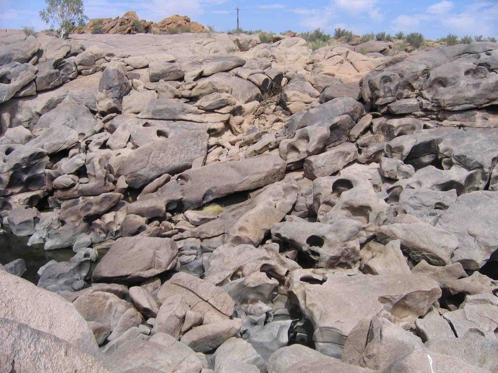
My main study site at pre-flood levels. Note the rusty colored rocks at the top of the picture, left of the pole. The water extended all the way to these rocks at the time of my visit.
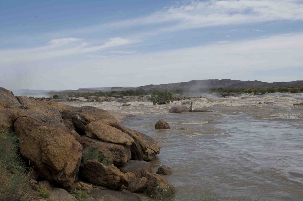
Looking in the opposite direction to the picture above. The rocks in the left of the frame are the ones described in the picture above.
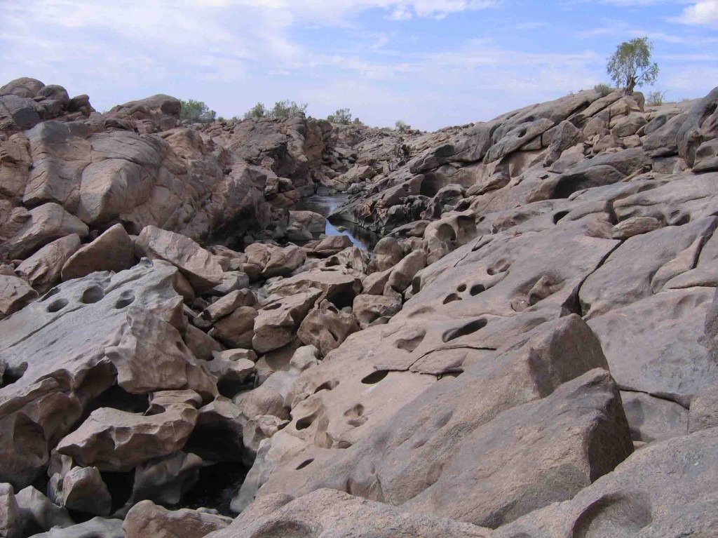
Pre-flood levels. Only the fig tree in the top right managed to keep its head above the flood waters. All the rock you see here was under water.

